
I have completed a few surveys with the Hydromagic software. The issue I am having is I cannot seem to get a orthometric elevation to export.
To export the orthometric height (which is the height off the GNSS antenna compensated with a geoid model), you have to make sure you converted your recorded data into soundings first.
When converting the data using the "Sounding Wizard", please make sure that you supplied the correct antenna height as well as the correct geoid model for your region.
After generating the soundings, right click the sounding file to export, and select the "Export Sounding(s)..." option.
In the "export soundings" utility you can now add multiple soundings to export. When you selected all the soundings, click the "Select..." button next to the "Exported Fields" input field and make sure that you include the "Orthometric Height" field.
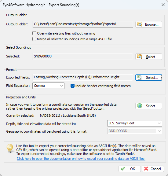
Make sure the "Orthometric Height" field is included in the exported fields setting.
When you now export your soundings, the correct orthometric height should be present in one of the data columns.